2,500+ Hectares at Flood and Landslide Risk as April Rains Continue
Cuenca Is the Region's Flood and Landslide Hotspot
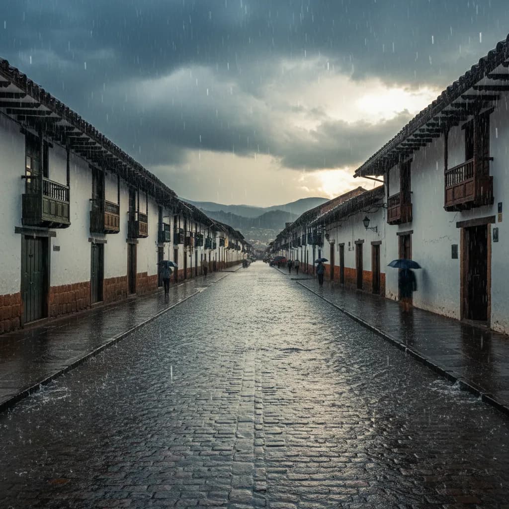
The numbers are sobering. According to Municipal Risk Management, more than 2,500 hectares within the Cuenca canton are classified as vulnerable to flooding and landslides. And if you've been following the news this rainy season, you know this isn't abstract -- over half of all regional emergencies recorded between January and March 2026 have occurred in Cuenca.
As April begins and the rainy season continues, here's what you need to know about which areas are most at risk and how to stay safe.
The Most Vulnerable Areas
Risk Management has identified specific urban and rural zones with elevated danger:
Urban Neighborhoods at Risk (Flooding)
- Bellavista-Jaime Roldos -- this densely populated area in the southern part of the city has experienced repeated flooding events
- Jesus del Gran Poder -- located in a low-lying zone susceptible to water accumulation
- Hermano Miguel -- urban flooding risk, particularly during heavy afternoon storms
- Trigales Altos -- elevated flooding risk due to terrain and drainage limitations
Rural Parishes at Risk (Flooding)
- Marianza -- rural parish vulnerable to river flooding
- Barabon -- low-lying areas near waterways
- Guzho -- flooding risk from seasonal water runoff
Rural Parishes at Risk (Landslides)
- Paccha
- Llacao
- Nulti
- Sinincay
- Santa Ana
- Chaucha
- Molleturo
These parishes have steep terrain, saturated soils, and in many cases, informal construction on hillsides that increases vulnerability.
Roads at Risk
- The Cuenca-Azogues highway is also flagged as being at elevated risk, which is relevant because this is the main route connecting Cuenca to the rest of the highlands and eventually to Quito. Landslides or flooding on this highway can cut off the city's primary northern transportation link.
Why Cuenca Is So Vulnerable
Several factors combine to make Cuenca particularly susceptible during rainy season:
- Geography: Cuenca sits in a valley surrounded by mountains, with four rivers (Tomebamba, Yanuncay, Tarqui, and Machangara) running through the urban area. When heavy rain falls in the mountains, all that water funnels down into the city
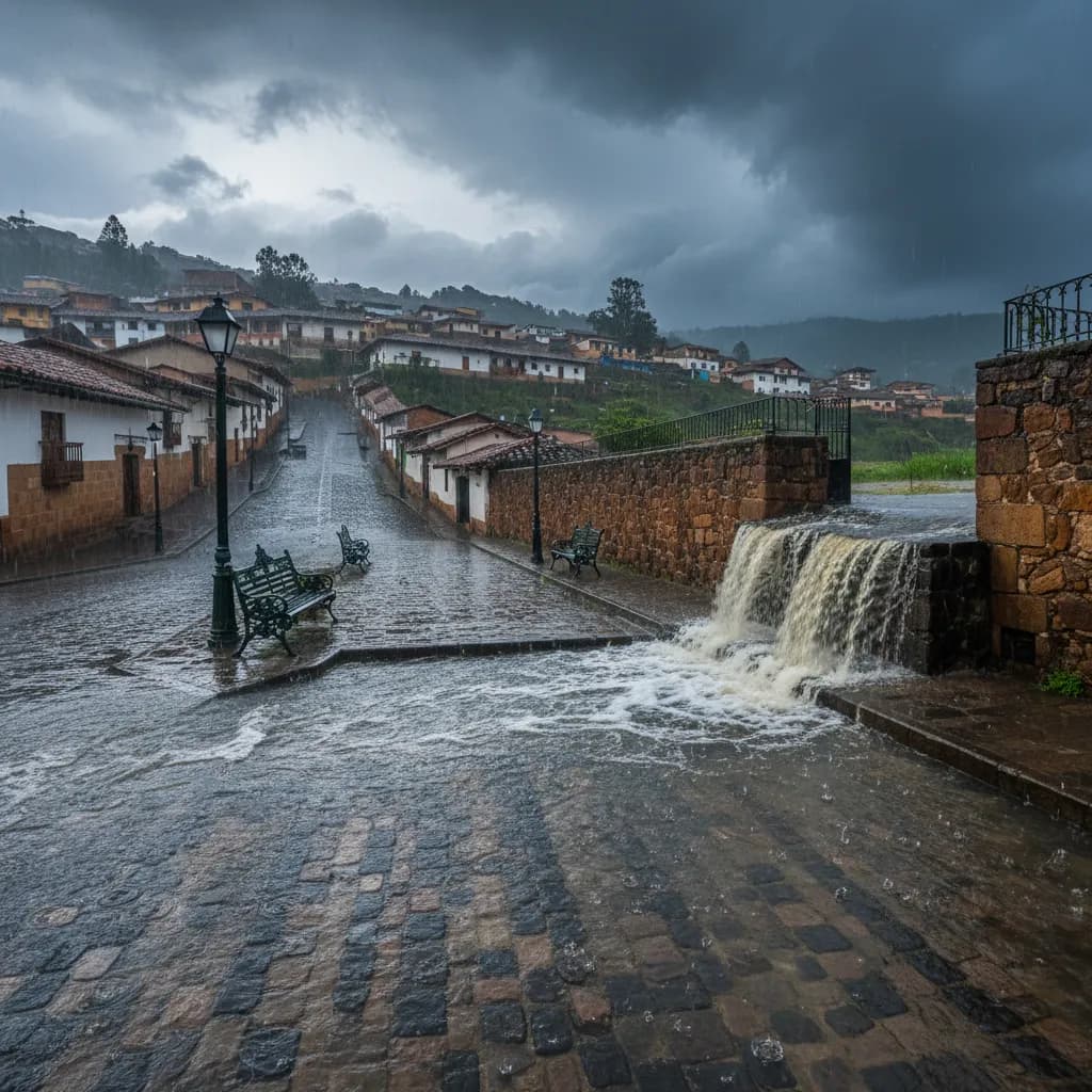
- Soil saturation: After months of consistent rain (the season typically runs October through May), the soil becomes saturated. Saturated soil can't absorb additional water, so rainfall runs off the surface -- leading to flash flooding. Saturated hillsides also lose structural integrity, leading to landslides
- Urbanization: As Cuenca expands, paved surfaces replace permeable ground. Water that used to soak into the earth now runs directly into drainage systems that weren't sized for the current urban footprint
- Climate patterns: La Nina conditions have intensified rainfall across the Ecuadorian highlands this year
What We've Already Seen This Season
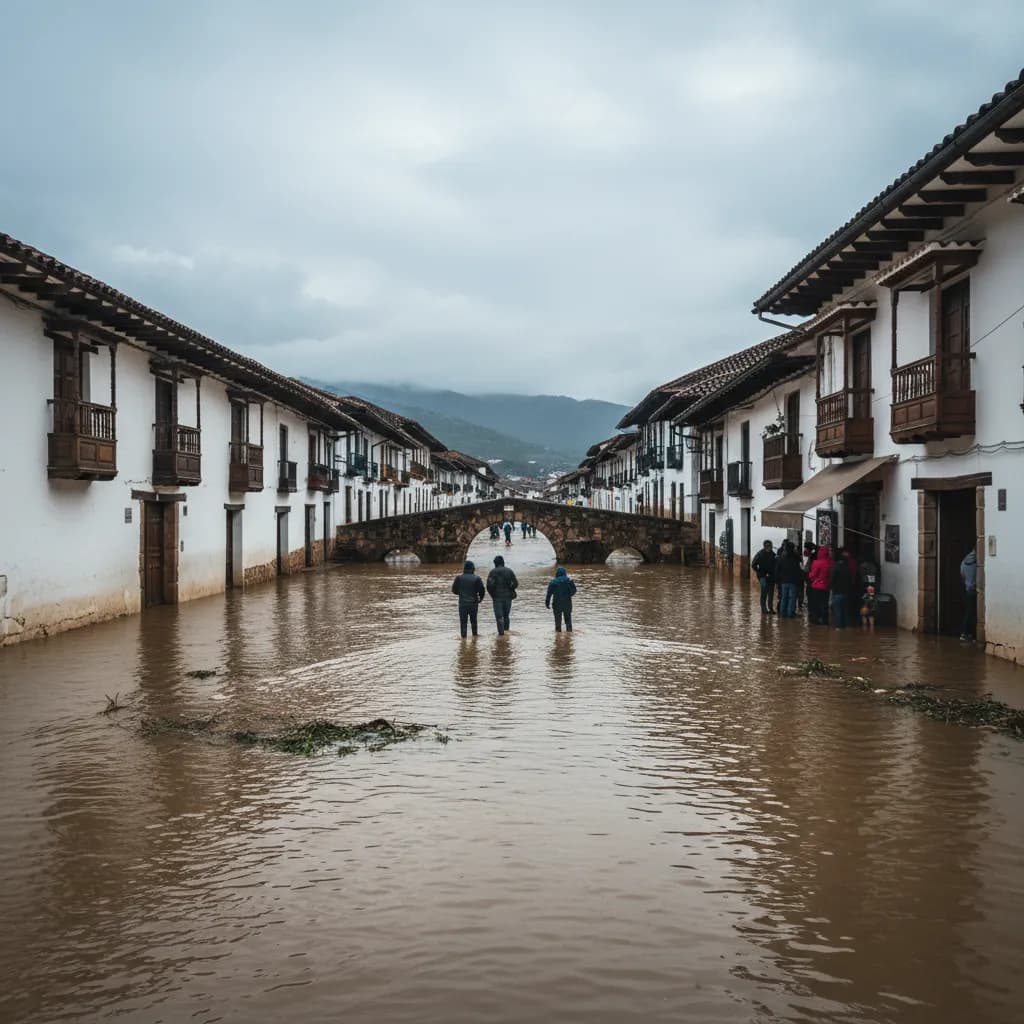
This isn't theoretical. In the first three months of 2026, Cuenca has experienced:
- Yanuncay River flooding (March 12) -- significant flooding along the riverbanks
- El Valle sinkhole -- caused by subsurface water undermining the ground
- Hailstorm damage (March 28) -- San Sebastian and surrounding neighborhoods hit hard
- Multiple road closures due to landslides and flooding on rural roads
- Puente Ochoa Leon closure -- bridge structural damage worsened by rain
And we're only at the beginning of April. The rainy season typically continues through May, with April historically being one of the wettest months.
What This Means for Expats
- Know your neighborhood's risk profile. If you live in or near any of the areas listed above, pay extra attention during heavy rain. Know where the nearest high ground is
- Avoid river areas during and after storms. The four rivers can rise dramatically in a matter of minutes. Stay away from riverbank parks and paths when it's raining heavily in the mountains, even if it's dry where you are -- the water comes from upstream
- If you live on a hillside, watch for warning signs: cracks in the ground, leaning trees or posts, unusual water seepage, or doors/windows that suddenly stick. These can indicate ground movement
- Have an emergency kit ready: flashlight, charged phone, water, important documents in a waterproof bag, basic first aid supplies
- Keep your phone charged and ECU 911 accessible. In an emergency, dial 911. For utility emergencies (broken water mains, sewer backups), call ETAPA at (07) 283-7968
- Drive carefully on rural roads, especially the Cuenca-Azogues highway. Landslides can appear suddenly, and road surfaces can be undermined by water flowing beneath the pavement
- Don't be complacent. If you've lived in Cuenca for a while and "nothing has ever happened" in your neighborhood, that doesn't mean it can't. The conditions this year are particularly intense, and areas that have been safe historically may be at elevated risk
This is the reality of rainy season in the Andes. Cuenca is a beautiful city built in a complex geography, and that geography comes with risks. Stay informed, stay prepared, and pay attention to official warnings.
Source: La Voz del Tomebamba
Keep Cuenca's daily expat briefing independent.
Reader support helps pay for reporting, translation, editing, hosting, and the daily work behind CuencaExpat.