2,500 Hectares of Cuenca at Flood Risk — Here Are the Neighborhoods
The Map You Need to See
El Mercurio published a detailed map this week showing Cuenca's flood-risk zones, and the scale might surprise you: 2,500 hectares of Cuenca canton are classified as susceptible to winter weather disasters — flooding, landslides, and river overflow.
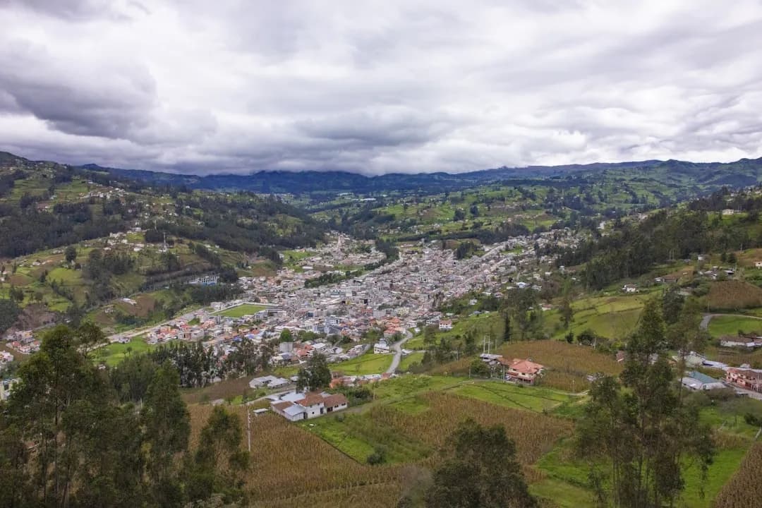
That's not a small number. For perspective, Cuenca's urban core is roughly 7,000 hectares total. So we're talking about a significant portion of the broader canton being at some level of risk during the rainy season.
Which Neighborhoods Are at Risk
According to the mapping, the areas classified as most vulnerable include:
- El Valle — one of the fastest-growing parishes south of the city center
- Nulti — northeast of the urban area, along hillsides prone to landslides
- Challubamba — in the eastern expansion zone of the city
- Turi — the famous viewpoint parish south of the Yanuncay River
- Miraflores — a residential area in the southern part of the city
- Marianza — a rural parish in the hills west of Cuenca
- Jaime Roldós — a densely populated neighborhood in the northern sector
If you live in or near any of these areas, this is information worth paying attention to. And even if you don't, understanding Cuenca's flood geography helps you make better decisions during heavy rain events.
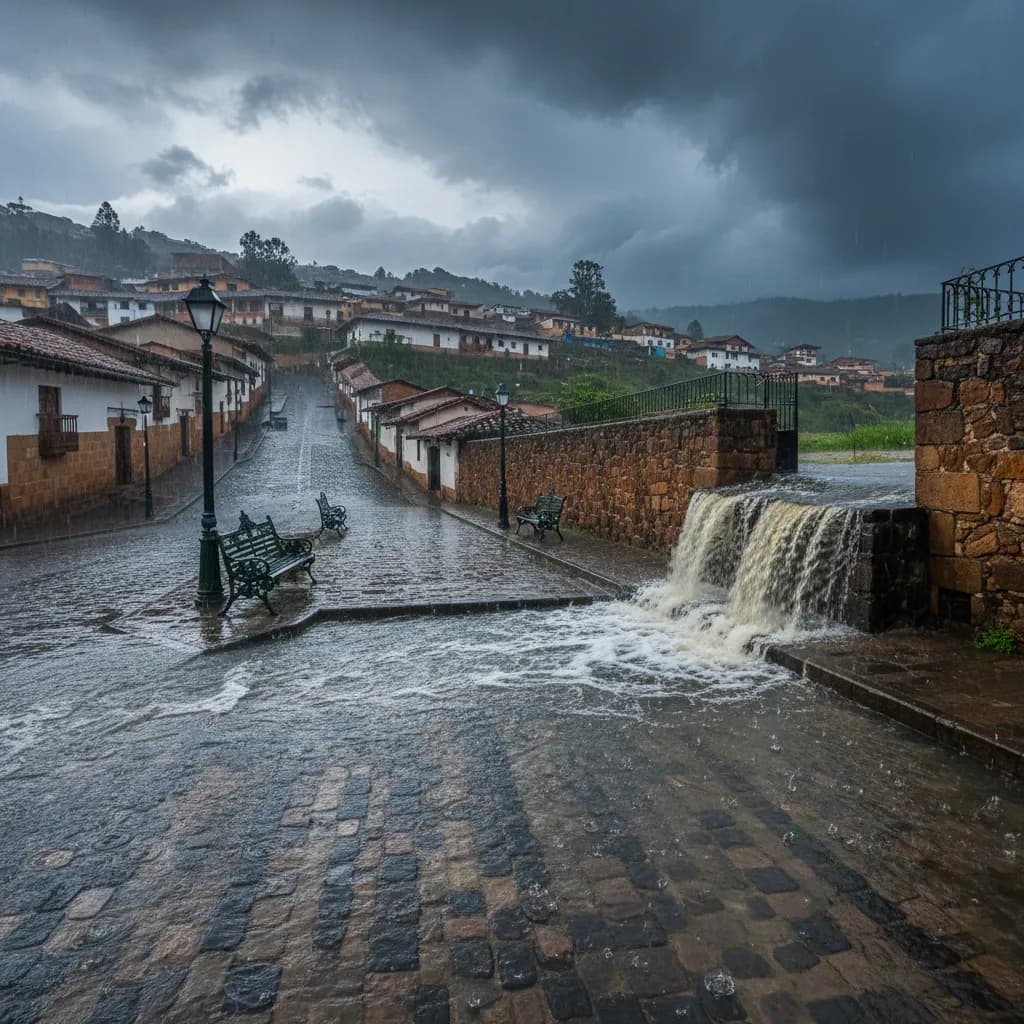
What's Already Happened This Month
This isn't hypothetical. The rainy season has already delivered real damage:
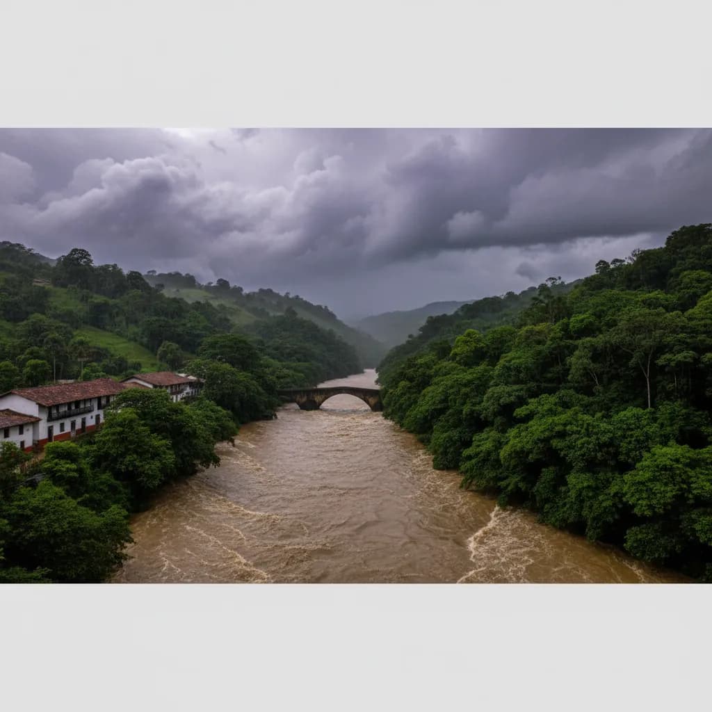
- March 12: The Yanuncay River overflowed in the Barabón area. A bridge was swept away by the force of the water. The Yanuncay is one of Cuenca's four main rivers, and it runs through heavily populated neighborhoods on the city's south side
- March 16: Flooding hit sectors in northern and central Cuenca, with streets and some homes affected
- More than half of all emergency responses in Azuay province this rainy season have occurred in Cuenca
The situation was serious enough that a national emergency was declared on March 12 with a 60-day duration, according to Infobae. That means the emergency declaration is still in effect and will remain so through mid-May.
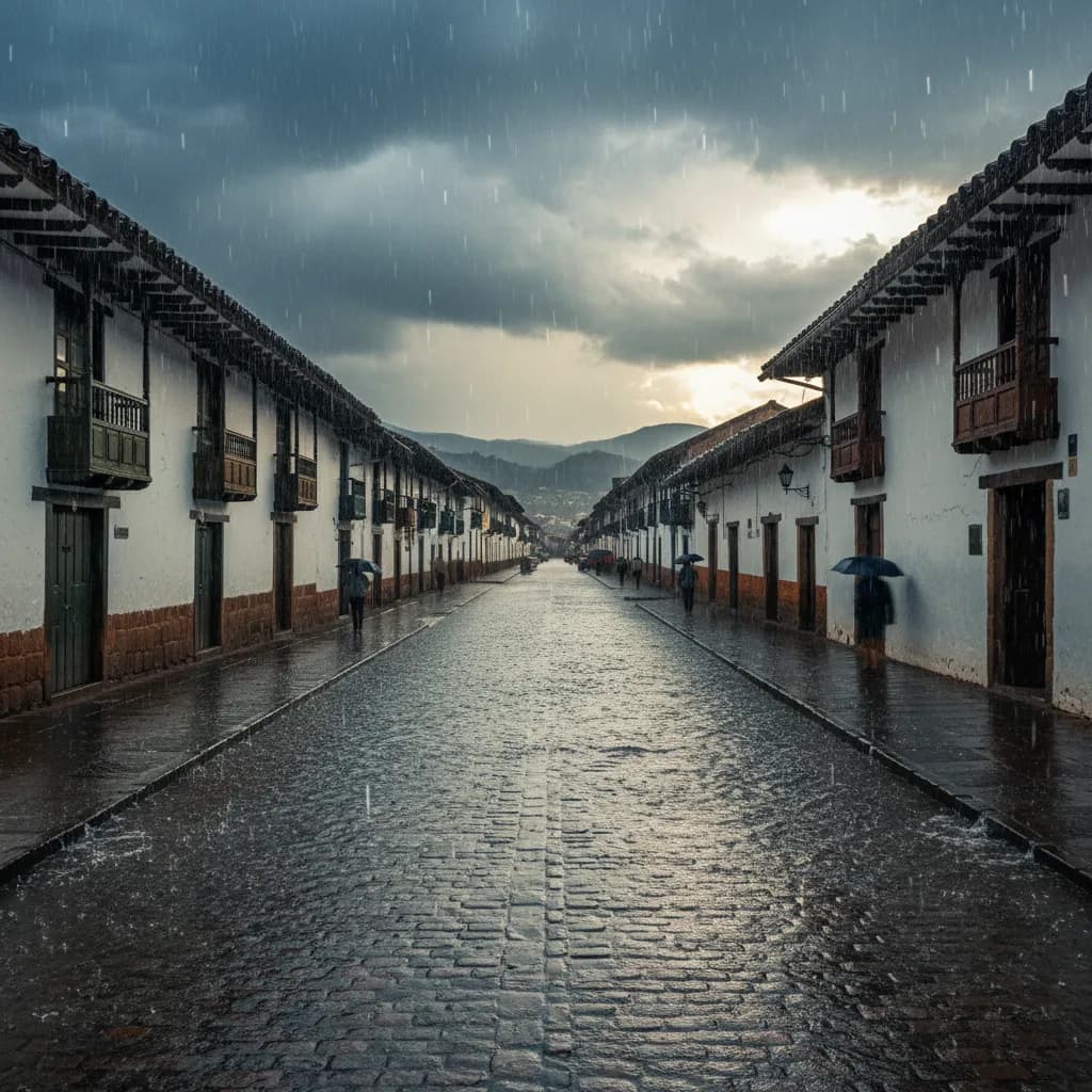
Why Cuenca Floods
Cuenca sits in a valley surrounded by mountains, with four rivers running through it. That geography is what makes the city beautiful — and what makes it flood-prone.
Here's the basic mechanics:
- Heavy rains in the mountains upstream send massive volumes of water down into the river channels
- The rivers rise rapidly — the Tomebamba and Yanuncay in particular can go from normal to overflowing in a matter of hours
- Neighborhoods built in floodplains or close to riverbanks are the first to be affected
- Hillside neighborhoods face a different risk — landslides and mudslides, especially where construction has been built on unstable terrain
- The city's drainage system can get overwhelmed during intense downpours, leading to street flooding even in areas far from rivers
The rainy season — which locals call invierno (winter) even though it's technically the warmest time of year — typically runs from January through May, with March and April being the peak months. We're right in the thick of it.
What You Should Do
Practical steps to stay safe during the remainder of the rainy season:
- Know your neighborhood's risk level. The El Mercurio map is a good starting point. If you live near a river or on a hillside, your risk is higher
- Avoid driving near rivers during heavy rain. This is the single most important safety tip. Roads along the Tomebamba and Yanuncay can flood with almost no warning. Don't try to cross flooded sections
- Monitor ECU 911 alerts. ECU 911 puts out emergency alerts through social media and local news when flooding events are occurring. Follow them on Facebook and X/Twitter
- Keep ETAPA's emergency number handy. For water-related emergencies (flooding, sewer backup, water contamination), ETAPA can be reached through their customer service line. They're the ones managing drainage and river infrastructure
- Have a go-bag ready if you live in a high-risk zone. Important documents, medications, phone chargers, change of clothes — the basics in case you need to evacuate quickly
- Watch for saturated hillsides. After days of sustained rain, hillsides become waterlogged and landslide risk increases. Cracks in walls or ground, tilting trees, and unusual water seepage are warning signs
- Don't walk through floodwater. It's deeper than it looks, it's moving faster than you think, and it's full of debris and contaminants
The Season Isn't Over
The rainy season continues through May, with April historically being one of the wettest months. The emergency declaration runs through mid-May. Stay informed, stay cautious, and if you live in one of the at-risk neighborhoods, take this seriously.
Sources: El Mercurio, Primicias, Infobae
Keep Cuenca's daily expat briefing independent.
Reader support helps pay for reporting, translation, editing, hosting, and the daily work behind CuencaExpat.