Landslides Cut Azuay Off From the Coast for Three Straight Days
Three Days and Counting
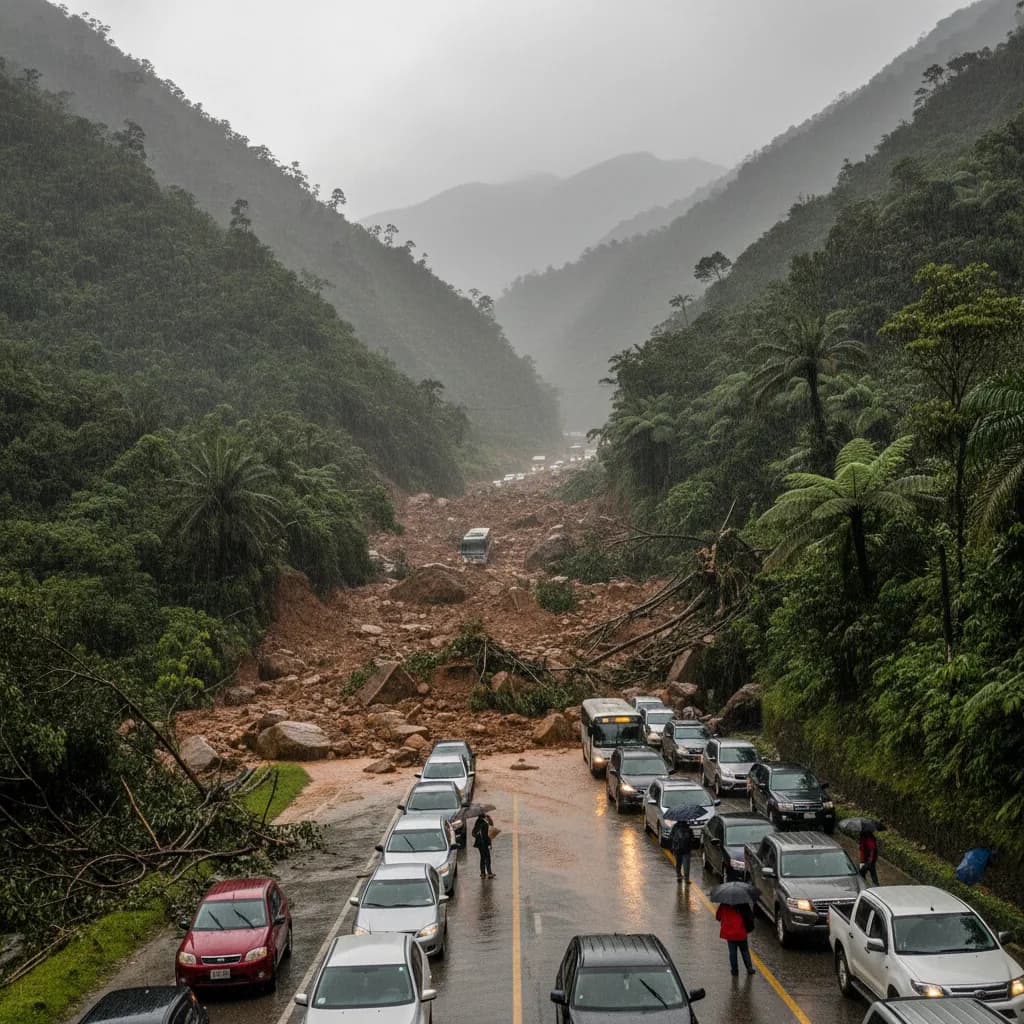
By March 13, the Cuenca-Machala highway had been closed for three consecutive days due to landslides at km 58, effectively cutting off Azuay province from Ecuador's southern coast.
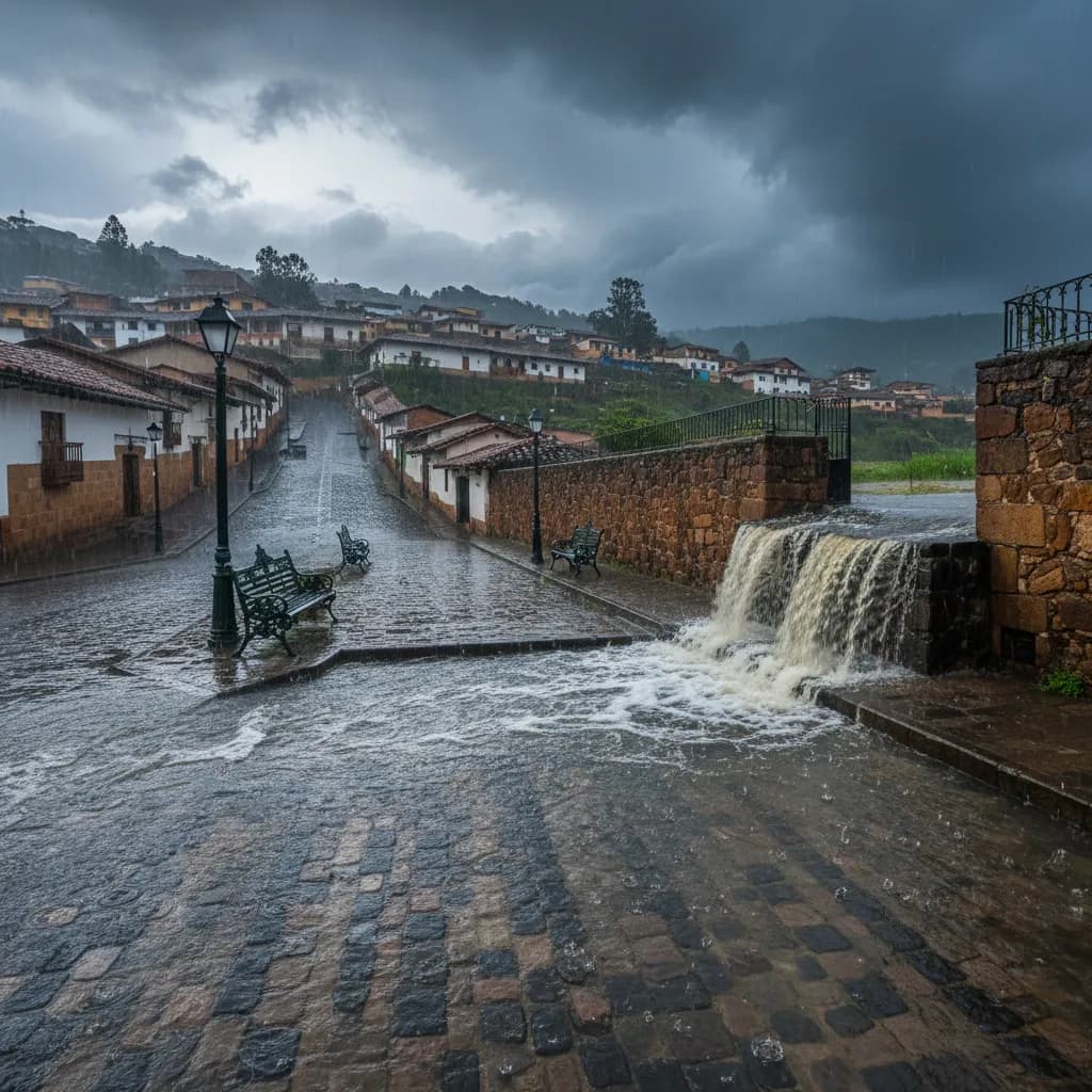
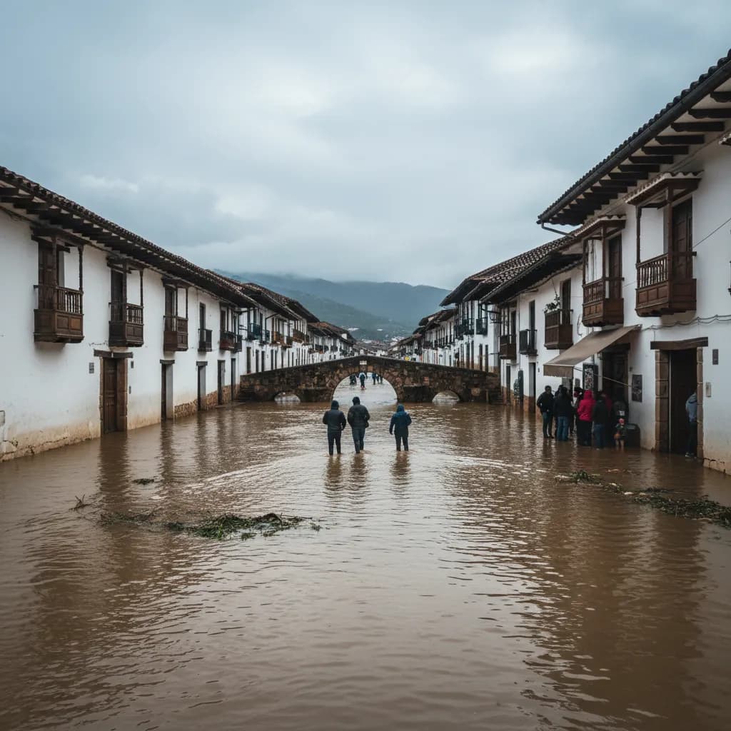
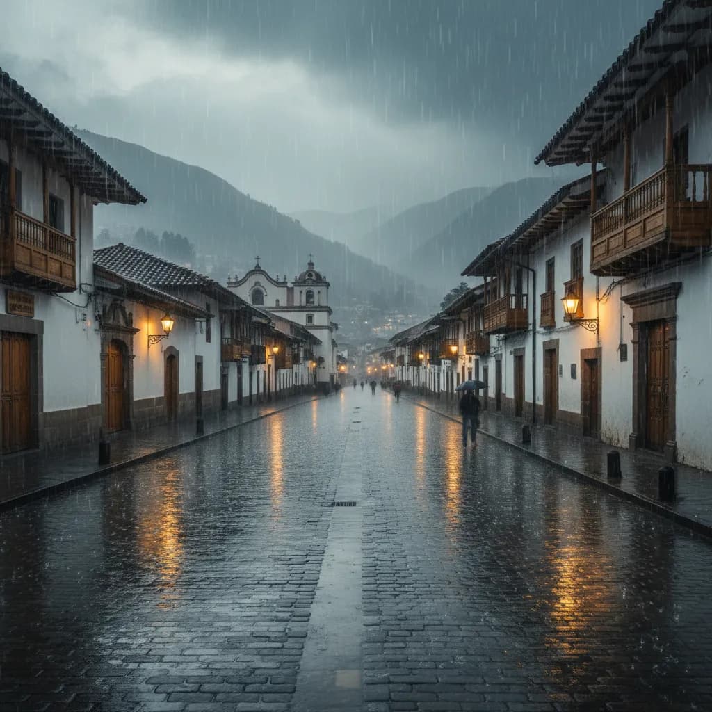
Heavy, sustained rains destabilized hillsides along the route, sending mud, rocks, and debris across the road and making it impassable. Road crews from the Ministry of Transport (MTOP) were on-site with heavy machinery, but each time they cleared one slide, more rain brought fresh material down.
This isn't a minor road. The Cuenca-Machala highway is the primary route connecting the Sierra to the southern coast — it's how goods, people, and commerce flow between Cuenca and the coastal provinces of El Oro, Guayas, and beyond.
Supply Chain Impact
If you noticed slimmer pickings at the market last week, this is why. The road closure disrupted deliveries of:
- Coastal seafood — shrimp, fish, and shellfish that Cuenca's markets and restaurants depend on
- Tropical produce — bananas, mangoes, papayas, and other fruits that don't grow at 2,500 meters
- Commercial goods from Machala and the coast destined for Cuenca businesses
Prices at Feria Libre and other markets likely ticked up for coastal products during the closure, and some vendors may have had empty stalls. This is the ripple effect of road closures that many people don't think about — it's not just about your drive to the beach.
Canada Issues Travel Advisory
The situation was serious enough that Canada issued a specific travel advisory warning its citizens about road conditions in Ecuador, citing the landslides and flooding. While the advisory covered the whole country, the Cuenca-Machala route was specifically flagged.
If you're from Canada (or any country whose embassy issues travel advisories), it's worth checking your government's Ecuador page periodically during rainy season. These advisories sometimes contain practical information about specific road closures that you won't find easily elsewhere.
Rainy Season Reality Check
Here's the thing: this is going to keep happening. Rainy season in the Sierra runs roughly from March through June, and the mountain roads connecting Cuenca to the coast are inherently vulnerable. The geology — steep slopes, clay-heavy soils, limited vegetation in some areas — means landslides are a when-not-if situation during heavy rains.
The main routes affected:
- Cuenca-Machala (via Girón and Santa Isabel) — this one just got hit
- Cuenca-Molleturo-El Empalme (to Guayaquil via the coast) — historically the most landslide-prone route
- Cuenca-Zhud-Cañar (to the northern coast) — also vulnerable in heavy rain
What Expats Should Know
- Don't plan coastal trips during heavy rain events. Check road conditions before you leave — the ECU 911 Twitter/X account and local news outlets report closures in real time
- If you're driving and it starts raining hard in the mountains, pull over. Visibility drops to near zero and the risk of encountering a fresh slide increases dramatically
- Stock your kitchen with non-coastal staples during rainy season. Rice, potatoes, grains, and highland vegetables won't be affected by coastal road closures
- Have a Plan B for travel. If you absolutely need to get to the coast, domestic flights from Cuenca to Guayaquil run daily with LATAM and Avianca (usually $60-100 one-way) and aren't affected by road conditions
- The Cuenca-Azogues autopista and roads to Quito are generally more stable, though not immune
Three days of isolation from the coast is a reminder that Cuenca's geographic beauty — nestled in a mountain valley — comes with trade-offs. The same terrain that gives us perfect weather and stunning views also means we're dependent on mountain roads that don't always cooperate.
Sources: El Mercurio, Canada Travel Advisory
Keep Cuenca's daily expat briefing independent.
Reader support helps pay for reporting, translation, editing, hosting, and the daily work behind CuencaExpat.