597 Meters of the Inca Road Still Survive at Cuenca's Eastern Edge

Plenty of expats drive east out of Cuenca toward Gualaceo and Chordeleg without realizing they're roughly tracing a road that predates the Spanish by centuries.
What's there
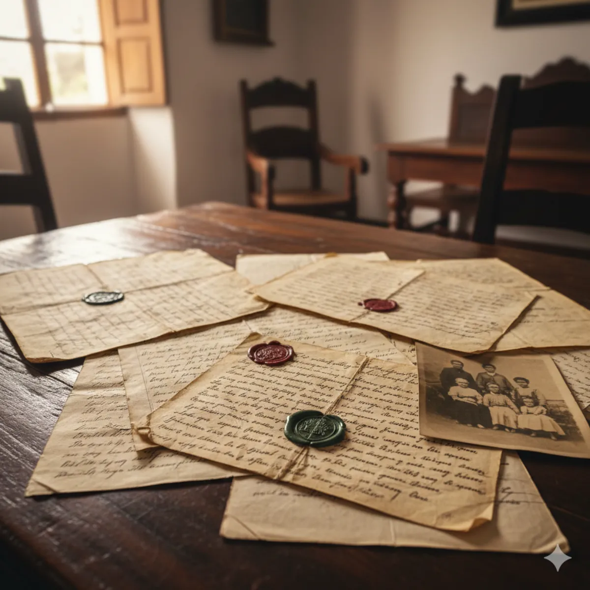
El Mercurio reported this week on surviving traces of the sistema vial andino — the Andean road system, which also includes the Camino del Inca, known as the Qhapaq Ñan. In Challuabamba, on Cuenca's eastern edge, the Instituto de Patrimonio Cultural recognizes two stretches as a heritage asset, formally logged with a record ("ficha") in the Sipce national heritage registry. Together those two stretches total 597 meters.
The old network linked Tomebamba (the historic name tied to the Cuenca area) with Shabalula in Sígsig, passing through places still on the modern map: Molle, Chocarsí, Tagual, Gualaceo, Chordeleg, and Sígsig. Part of the route runs through the Apangora sector of Nulti parish.
Who's documenting it
- Juan Pablo Vargas, archaeologist and researcher with the Prefectura del Azuay (the provincial government).
- Mario Cabrera, a resident of the area and author of the book Legados del Abya Yala por Challuabamba y Tomebamba.
The catch
The reporting is candid about the threat: there's little interest among some Challuabamba residents, who have taken over historic areas. As the suburb has shifted from farmland to housing, protecting a low, unmarked stretch of ancient roadbed is an uphill task — which is part of why the heritage designation matters.
Why expats might care
Challuabamba is a fast-growing area many newer arrivals know as the route toward the Gualaceo–Chordeleg artisan towns. Knowing there's a documented piece of the Qhapaq Ñan underfoot adds some depth to a drive you may already make — and it's a reminder of how much pre-Columbian history sits quietly at the city's edges. For specifics on the stretches and the research, see the source.
Source: El Mercurio
Keep Cuenca's daily expat briefing independent.
Reader support helps pay for reporting, translation, editing, hosting, and the daily work behind CuencaExpat.